Civic officials will be updating their emergency information after receiving a BC Hydro map showing many neighbourhoods in Coquitlam and Port Coquitlam would be under several metres of water in the extraordinary event a catastrophic earthquake destroys the Coquitlam reservoir dam.
The risk of a dam break is extremely low — it was rebuilt in 2008 to withstand ground motions in an extreme quake, one that has just a one-in-10,000-year chance of occurring — but BC Hydro is fine tuning a draft map that will soon be placed on its website and PoCo and Coquitlam officials are planning to release the information on their websites, including evacuation routes.
“We have been advised by BC Hydro that the dam was rebuilt as recently as 2008 and that it is highly unlikely that a dam failure would ever occur at this particular location,” PoCo emergency program officer Tara Stroup said in an email to The Tri-City News.
PoCo has also never considered a dam breach on the city’s annual Hazard Vulnerability and Risk Assessment (HVRA) index, Stroup said, because the likelihood of such an event occurring is so minimal.
“However, it has come to our attention that there are some residents that have concerns and would like to know how to plan for this kind of an event. To this end, the city of Port Coquitlam and city of Coquitlam have been in contact with BC Hydro to complete a simplified inundation map that will assist our residents with evacuation planning. The map highlights areas that may be covered with water should a dam breach ever occur,” Stroup further stated.
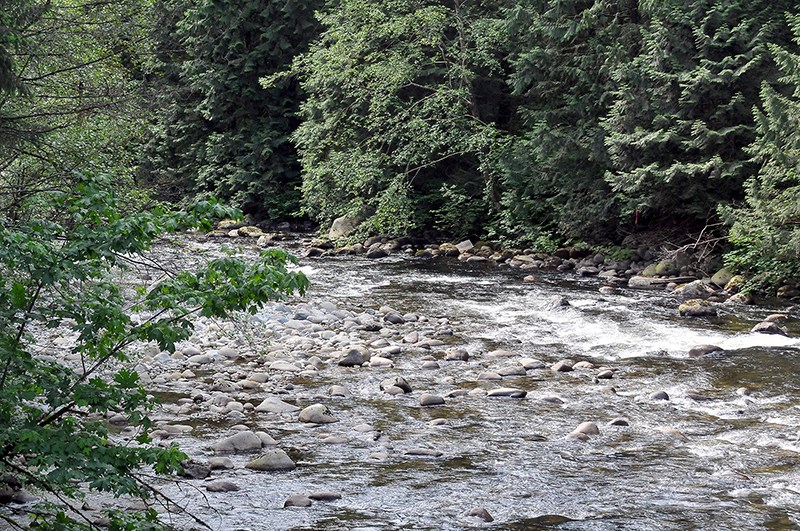
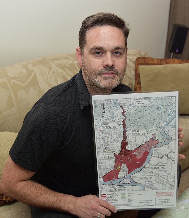
Produced in January, the Coquitlam dam emergency inundation map shows neighbourhoods closest to the Coquitlam River downstream of the dam would be most immediately affected, with streets above Hockaday Street submerged under as much as 13.4 m of water, with the first waves arriving within 42 minutes of a dam break.
In Coquitlam, neighbourhoods closest to the river would be most affected; in Port Coquitlam, much of the city would be flooded, except for Mary Hill and Citadel Heights, high points in the topography.
The predictions are just estimates, the map says, and the risk low but should the dam break in a catastrophic quake flooding, would be quick and extensive.
ROADS FLOODED
For example, the map shows water would arrive at David Avenue at the Coquitlam River in 48 minutes, with a maximum water rise of 10.3 m.
At Lougheed Highway, where the water flows under the road, water would arrive in an hour, with a maximum rise of 8.3 m.
Water would take longer to arrive in the further reaches of the city; at Westwood Street at Kingsway Avenue, water would arrive in 1.18 hours and would be as deep as 4.5 m while at Lincoln Avenue and Devon Road, water would arrive in three hours and reach an estimated maximum height of 3.9 m.
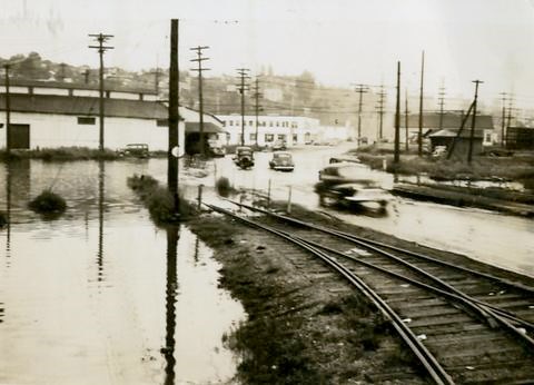
Major infrastructure would also be affected: Lougheed Highway, Mary Hill bypass and the approaches to the Port Mann Bridge would all be under water. Pitt River Road at the Coquitlam River, a major junction in the road network, would see water arriving in 1.12 hours with a maximum height of 5.7 m.
The map showing extensive flooding in a major earthquake has also caused schools in the area to rethink their emergency procedures, and Rob Zambrano, a School District 43 assistant superintendent, said evacuation plans are being developed to ensure staff and students get to higher ground in such an emergency.
“The schools around the Coquitlam River have always thought about this as a consideration,” Zambrano said.
But in areas of PoCo well away from the river, for example, more work on disaster planning needs to be done, he said.
“We will have to redefine evacuation routes and make some suggestions," he said. "We’re going to work with them to identify that. It looks like we should be to able get to higher ground and there are accessible circumstances within a short time and that’s good.”
Geoff Hunt, a resident of the New Horizons neighbourhood near the Coquitlam River, raised the issue with civic officials and is relieved action is being taken, but he’s worried most people will be unaware of what could happen to the dam in a major quake unless more is done to notify them.
“There’s still probably a lot of people who don’t know about it,” said Hunt, who has a son attending Maple Creek middle school, which is close to the Coquitlam River and is one of two middle schools and three elementary schools in close proximity to the river.
TAKING ACTION
Greg Kanya, manager of Coquitlam’s emergency management office, said in an email that the city is using the BC Hydro map to guide its response.
“In the unlikely event of an earthquake of a magnitude that would cause the failure of the dam, it would likely be one of several incidents that the city would be dealing with,” Kanya told The Tri-City News.
“However, no one can predict if or when an earthquake may occur, so the city plans for response to all natural hazards, including earthquakes, floods, forest fires and other natural hazards or man-made events."
A BC Hydro spokesperson said the dam, upgraded at a cost of $65 million, meets the expectations of governing bodies and the Canadian Dam Association.
As well, the dam is monitored through various measures on a daily, weekly and semi-annual basis by engineers and trained personnel, with inspections by an independent dam safety consulting engineer every five to 10 years and special inspections after landslides, earthquake, high winds, spillway discharges and floods.
“We’re supporting local governments, including the city of Coquitlam and city of Port Coquitlam, with the development of their municipal emergency evacuation plans by providing information about our system, emergency conditions and our own emergency response plans in the unlikely event of an earthquake causing a dam failure,” said Hydro's Tanya Fish.
EMERGENCY INFORMATION
Once the map is finalized, the city of Port Coquitlam will share it and information about the evacuation routes on the city website and in a brochure.
Where to get information:
• Port Coquitlam: www.portcoquitlam.ca/flood, portcoquitlalm.ca/ep;
• Coquitlam: www.coquitlam.ca/ep; BC Hydro: bchydro.com/damsafety.


