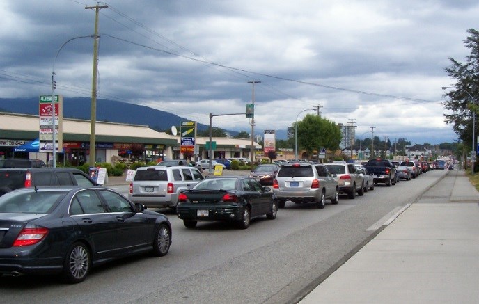
Port Moody's biggest transportation headaches are being targeted in a master transportation plan that is nearing completion.
Now in the last of five phases — including public input, visioning, planning and technical analyses — since the project launched last spring, the draft long-term plan will guide decisions for drivers, transit users, cyclists and pedestrians over the next 30 years.
It's a once-a-decade project that weighs in at some 220 pages but is guided by three key strategies:
• establishing a network of complete streets;
• building a transit-oriented community;
• and creating a vibrant waterfront with better connections to Moody Centre.
"It's built off of council's strategic plan… but when you get down to it, it's what people really care about, what the community told us to date, and making improvements for all modes of transportation," said Mark Halpin, the city's transportation planner.
That means everything from truck routes to bike routes, traffic lights to turning lanes and walkers to transit riders will see changes in the decades to come.
Complete streets — defined as "destinations and places that people want to be, instead of places to simply move through" — are a key focus for the plan and are proposed to include St. Johns, Clarke, Murray and Spring streets. Elements can include wider sidewalks and boulevards to separate them from traffic, canopies or awnings, the use of colour, architecture and trees, and areas that encourage street activities and socializing.
"Developing street designs that consider the needs of all road users and that focus on moving people instead of vehicles is key to improving how people are able to travel through and spend their time within Moody Centre," the report states.
Such changes will require a balancing act between the need to keep commuters moving while creating an environment conducive to economic vibrancy.
"We know we're a regional connection… but St. Johns from a commuter's perspective has been underserved," Halpin said. "It functions as a through corridor and through the plan, we're looking at improvements for cycling and walking facilities along it… to improve the economic vibrancies along the corridor."
The Evergreen Line will be a significant part of those changes, moving 4,000 people per hour during the morning and evening rush hours.
"It's an amazing opportunity and how we capitalize on that opportunity will have significant impacts" on the city's economic landscape and from a traffic perspective, Halpin added.
Some additional highlights include proposed new, development-funded overpasses connecting Moody Centre to the shoreline.
Halpin said vehicular access could be increased either by doubling the existing capacity on Moody Street or adding a new link near Mary Street as well as new pedestrian connections between Williams Street and Electronic Avenue, and near Queens Street.
A package of improvements is also aimed at resolving the Moody-Clarke loop: Installing a new traffic light at Grant Street to divert some of the north-south movement; restricting turns at Moody and Clarke; and adding a traffic signal at the base of the ramp.
Staff are also working with TransLink to remove the HOV lane designations from St. Johns, Moody and Clarke.
"It's under-utilized," Halpin said. "We think re-allocating that road space to other uses could be quite beneficial, and it goes hand in hand with the pack deal for the Moody bottleneck."
The final challenge of the master transportation plan will be whittling down the big ideas into a series of prioritized projects — and determining how to fund them. That discussion paper goes to council May 24.
[email protected]
@spayneTC


