
The unseasonably cold weather often described as ‘June-uary’ has finally ended.
Over the weekend, temperatures soared to the low 30s and will remain in the mid-20s throughout the next week in the Sea to Sky.
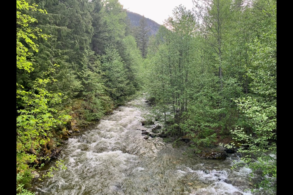
While the warmer weather is a welcome delight for many, giving people a chance to finally get some much-needed vitamin D, the colder spring has also left a higher-than-usual snowpack that is now rapidly melting, raising flooding concerns on the rivers in the region and across the province.
“Right now, everything's really quite uncertain in the river forecasting world because we have this unseasonably high snowpack, so it's really hard to gauge the rate of snow melt,” said Pemberton Valley Diking District operations and maintenance manager Kevin Clark.
Across the province, several river systems, including the North Thompson, South Thompson, Laird and Quesnel Rivers, have all had flood watches or warnings issued.
The Pemberton Valley river systems are flowing higher than usual, but are not at risk of significant flooding at this time.
“At current forecasting rates, we don't see any indicators of reason for concern for the bulk of the Pemberton Valley," said Clark.
"There are some isolated areas in and around the low land in Mount Currie and some areas of the regional district which might see some low-level stagnant water backing up."
According to the British Columbia River Forecast Centre (RFC), the rapid snowpack melting has resulted in higher-than-normal flows for the Lillooet and Birkenhead Rivers in the Pemberton Valley, with the Birkenhead River being the main river of concern.
The Birkenhead River will experience a more considerable jump in flow than the Lillooet, but neither river is expected to cause significant flooding, according to the RFC. Some of the side channels of the Birkenhead River are blocked by log jams, which have forced water through alternative channels.
One channel of concern is Grandmother Slough near Mount Currie. The river has recently carved a new side channel into the slough, raising water levels higher than normal. Levels are expected to rise further as the heat continues through the week.
Forecasters are also expecting high groundwater, ponding and localized flooding in and around Rancheree Street near Grandmother Slough in Mount Currie.
Residents of this area are encouraged to prepare their properties for high groundwater and ponding and have an emergency kit ready. A sandbag station will be set up at the old Blue Motel site for Lil’wat members to use.
You can find information on potential flooding here: http://bcrfc.env.gov.bc.ca/warnings/index.htm


