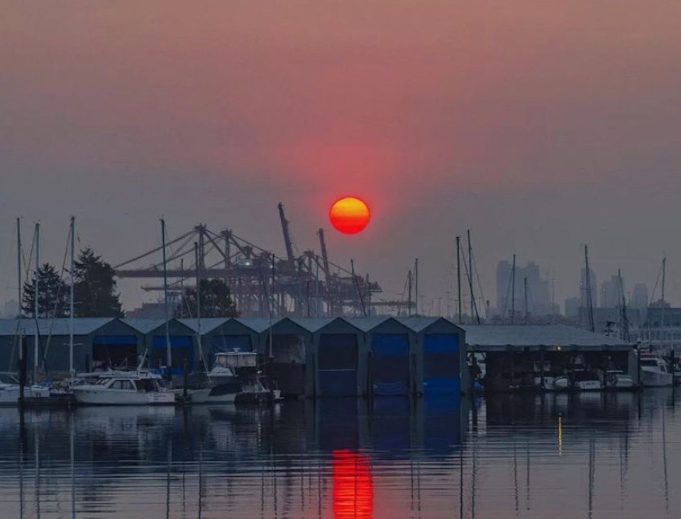
An air quality advisory issued Oct. 14 for Metro Vancouver has been continued for Monday, Oct. 17, with the smoke-choked air expected to linger for the next few days until the weather changes.
The warning about unhealthful air for Metro Vancouver and the Fraser Valley is due to "high concentrations of fine particulate matter, primarily due to smoke from wildfires burning in B.C. and Washington," according to Environment Canada. In British Columbia, it's fires burning southeast of Chilliwack (near Chilliwack Lake), near Hope, and near Harrison Lake creating the smoky skies. Locally, a fire in West Vancouver that broke out Friday morning was contained by Saturday.
Smoke concentrations may vary widely across the region as winds and temperatures change, and as wildfire behaviour changes. Eastern parts of the Fraser Valley that are closer to many of the wildfires may experience greater smoke impacts compared to western parts of Metro Vancouver, notes Environment Canada.
"Stagnant weather conditions are forecast to persist for at least the next few days and it is expected that air quality may not change until there is a more significant change in the weather," adds the national weather agency. While the temperatures won't be as warm this week as they were over the weekend, we aren't expecting to see rain in the region until the end of the week.
The week ahead in Vancouver weather
The week of Oct. 17 will start with sunshine and dry skies, as Monday is expected to see a high of 18 C with a few foggy patches in the morning. Highs inland may reach 22 C.
That will probably be the warmest day though, as the federal agency is expecting cloud cover to roll in starting Tuesday, with a mix of sun and cloud continuing through Thursday, as temperatures drop to 16 C or 17 C through the middle of the week. Overnight lows to Thursday night are expected to stay close to 10 C.
Friday is when the biggest change is currently expected, with Oct. 21 forecast to be cloudy with a 70 per cent chance of rain and a high of 15 C. That wet weather is expected to continue into the weekend, with Friday night dropping to 9 C along with a 60 per cent of showers. Saturday will be more of the same, except the high may only be 13 C.
If rain does fall on Oct. 21, it'll be the first recorded precipitation in Vancouver since Sept. 28, when .2 mm was measured. The last time there was more significant rain was Sept. 16, a full month ago.
With files from Brendan Kergin


