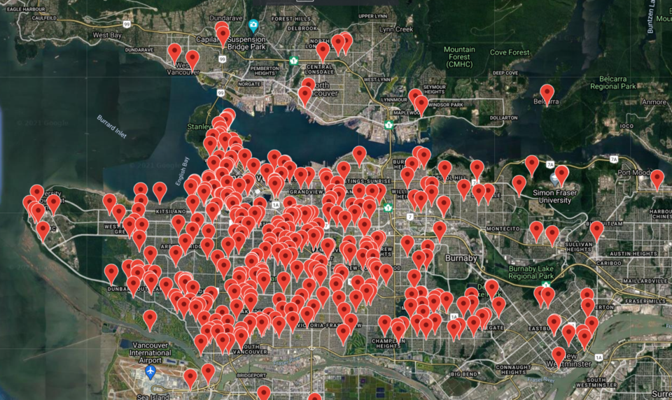
If you're looking for at least 2,500 different places to see cherry blossoms this year, this map will help with that.
The Vancouver Cherry Blossom Festival has a Google map showing around 2,689 places to see trees with light pink blossoms on them.
"About 50 different cultivars of flowering cherry trees come into bloom, lighting up Metro Vancouver and painting neighbourhoods in awash of colour from a blush of pink to pure snow-white cherry blossoms," states the festival on their website.
The map includes the location, a description of the location, the type of cherry tree at the location and when it's expected to blossom.
"Search by neighbourhood or cultivar, or a combination of those, to see all the trees we have on the map. Or change the dates to see what is in bloom when you plan to go out flower viewing," suggests festival organizers on their website.
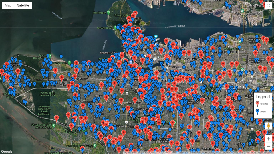
The map also marks hundreds of 'favourites' which festival organizers suggest are the best places for photographers to take photos.
They also have a Blooming Now page which updates where blooms have been spotted this year.


