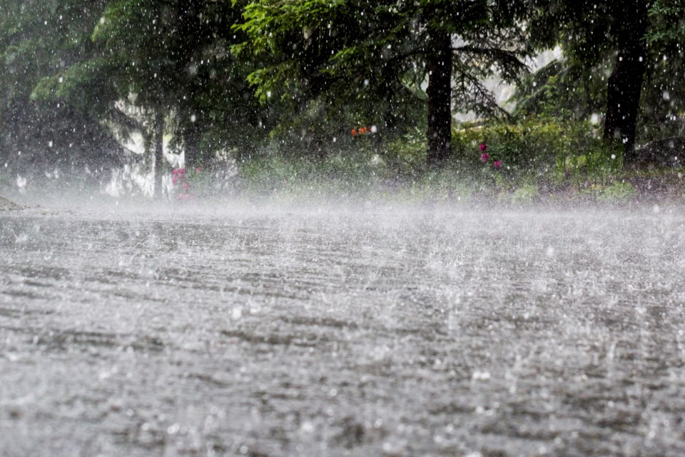
Take it easy out on the roads today (Feb. 7) and pack an umbrella, if you haven't already.
Heavy rain is expected to settle into the Tri-Cities totalling between 50 and 80 mm of downpour by the end of Tuesday, according to meteorologists.
This may lead to localized flooding in low-lying areas across across Coquitlam, Port Coquitlam, Port Moody, Anmore and Belcarra, especially in parks, trails and riverbanks, as well as potential pooling underneath highway overpasses.
The rainfall warning was issued just after 5 a.m. this morning by Environment Canada.
In its statement, the national agency says the rain is the result of a "moist" frontal system coming off the coast that may bring a risk of thunderstorms to the northern sections of Metro Vancouver.
The rain today will be coupled with southeast winds gusting up to 30 km/h and the temperature may reach a high of 8°C.
By the end of the work day, the rain could taper off to just a few showers as the system passes through the region.
"Don't approach washouts near rivers, creeks and culverts," Environment Canada added.
The City of Coquitlam said more than 70 mm of rain has already accumulated in the last 24 hours, including 43.5 mm since midnight.
Last month, its rain gauge on Burke Mountain tallied more than 215 mm of rain from the month of January with the heaviest falling on Jan. 12 at nearly 34 mm.
Commuters are being strongly encouraged to slow down and drive to the conditions to avoid possible hydroplaning.
Wednesday morning's (Feb. 8) forecast is calling for a complete 180° turn with a mix of sun and cloud, but a 60 per cent chance of showers could return for the afternoon.


