Coquitlam residents are being asked to stay aware of potential rising water levels along nearby tributaries.
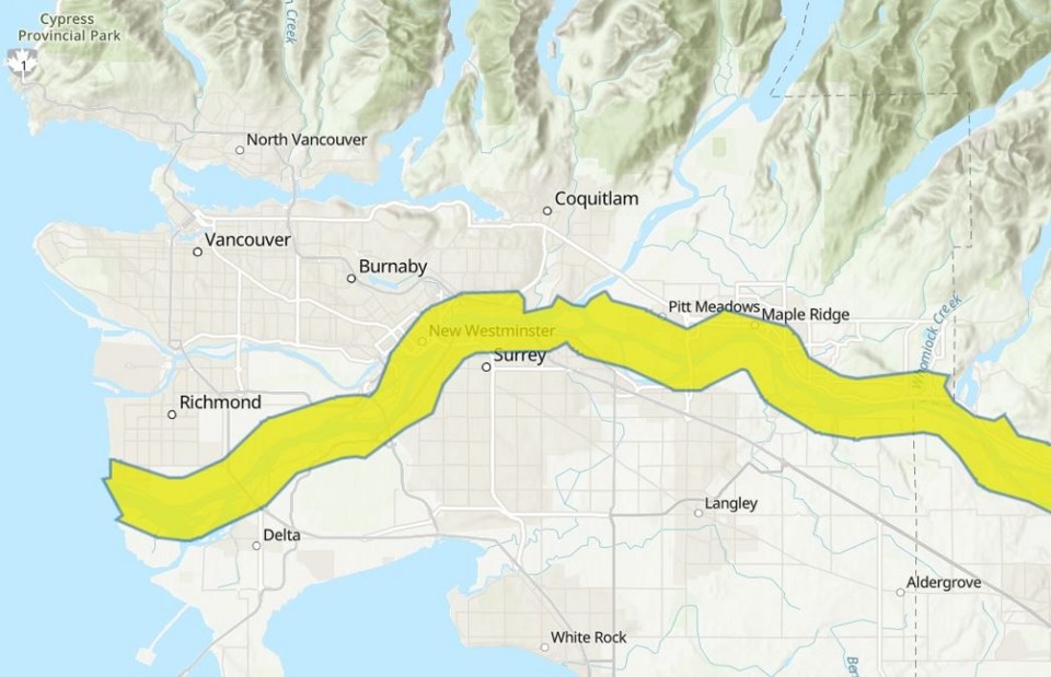
The BC River Forecast Centre currently has a high streamflow advisory in effect for the Lower Fraser River as experts are predicting rapid melting to take place in the coming days as the weather begins to warm up.
The alert officially took effect at noon on Saturday (June 11) when signs of snow melt became more apparent.
According to a release, there's a higher-than-average snow pack in the Lower Mainland mountains and its melting could court fast-moving waters between Hope and the Pacific Ocean.
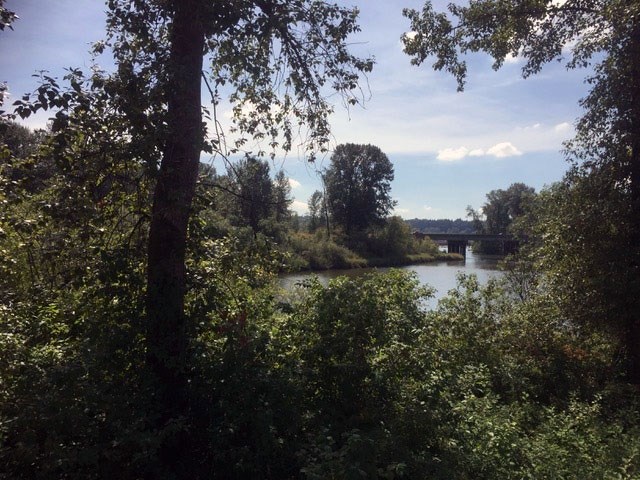
This includes the channels that make their way through the Tri-Cities, such as the Fraser, Coquitlam and Pitt rivers, as well as local recreation areas like Pacific Reach Linear Park/Don Roberts Park and Maquabeak Park.
Brad Lofgren, Coquitlam's director of public works, says staff are monitoring the streamflow closely.
He adds the city is prepping for potential flood conditions in public spaces, but is also asking home and business owners to do their part as well.
"Property owners are responsible for their own flood preparations, and Coquitlam residents and businesses in low-lying areas near the Coquitlam, Pitt and Fraser rivers are encouraged to be prepared year-round for potential flooding," says Lofgren.
"If flooding appears likely, the City will inform affected residents and business owners of the City’s activities and how they can reduce the impact of flooding on their property."
Coquitlam residents and visitors are being asked to avoid fast-moving water along local rivers.
To ensure safety, Lofgren says the Coquitlam Dike at DeBoville Slough has been closed until higher water levels subside.
Other response measures in the event of a flood that reaches at least three metres include the following:
- Stop logs to block Nelson Creek and Como Creek to prevent flooding north of United Boulevard
- Temporary pumps installed in-stream to pump creek flows over the stop logs
- Sand bagging in targeted areas to limit extent of flooding and protect critical infrastructure
- Possible road closures
For more information, including trail updates and emergency preparedness tips, you can visit the City of Coquitlam's website.


