The developer of a new app is hoping to take some of the stress out of getting around the Tri-Cities by bike.
Dragana Radulovic said over the 20 years she’s been cycling around the lower mainland, it’s become increasingly difficult to find routes where she feels comfortable and safe as roads gets busier with more traffic.
She said even TransLink’s map of designated cycling routes has proved inadequate as so much information is packed into it, it can be hard to follow, and online maps on Google can be out of date, not taking into account the current state of traffic on some busy thoroughfares.
So the member of the Tri-Cities chapter of HUB Cycling, a regional advocacy group, decided to do something about it.
Radulovic’s research led her to an algorithm developed by Bike Ottawa that creates a kind of heat map of stressful and relaxing cycling routes based upon readily available open source data about bike infrastructure, road categories, number of lanes, and whether there’s curbside parking that might present a danger from opening doors.
The result is colour-coded to indicate the stress cyclists may feel riding along various routes so they can make decisions based upon their own comfort level.
Radulovic said the map has been integrated into an app for iPhones she launched last year called TriCity Fix that cyclists can use to immediately advise Coquitlam, Port Coquitlam and Port Moody of any problems along their riding routes like broken glass in a bike lane or a displaced barrier. The app also includes TransLink’s cycling map.
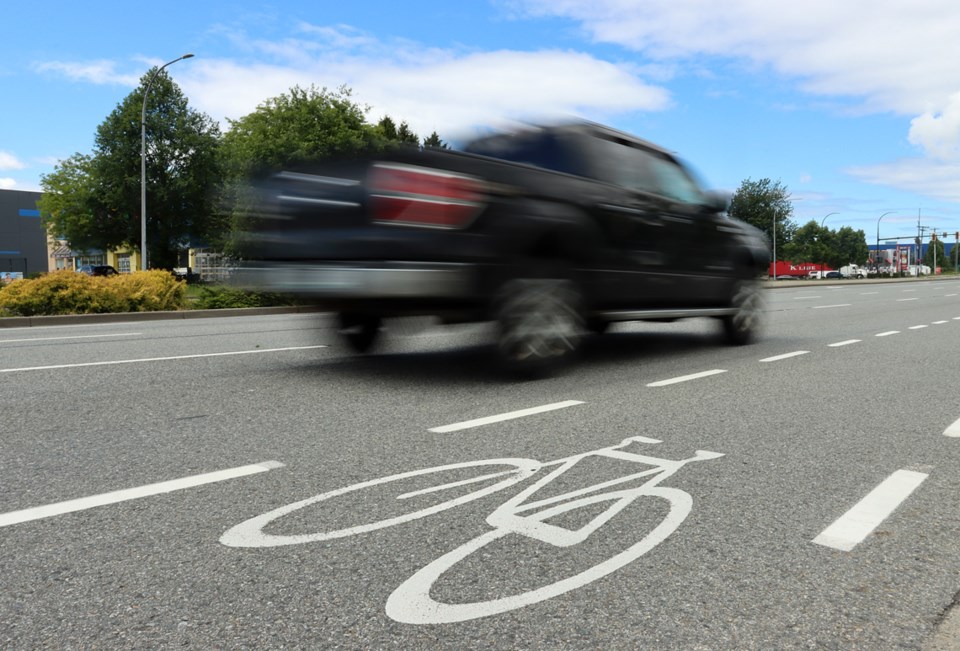
Radulovic said any number of factors can create stress for cyclists, from heavy traffic speeding right by their shoulders to inexplicable gaps between designated cycling routes. She said she was dismayed to see several of those routes through Coquitlam, like Foster and Rochester streets as well as Guildford Way, categorized as stressful.
“A lot of the residential streets aren’t connected, so you have to go on busy streets,” Radulovic said.
An unintended benefit of the stress map is highlighting how much more work the Tri-Cities have to do to create an environment where cyclists can feel safe wherever they ride.
She said neighbouring communities like Burnaby have similar challenges, but as soon as she crosses Boundary Road into Vancouver, “I feel much better” as routes are more interconnected.
Radulovic said North Vancouver has also made great strides in its cycling infrastructure in recent years.
A report released in 2020 by HUB and TransLink shows Coquitlam lags behind the regional rate for commutes done by bicycle — only .7% of commutes in the city are by bike compared to 2.3% regionally.
But Dragana Mitic, Coquitlam’s manager of transportation, engineering and public works, said the city is working to improve that with a goal of building out a network of cycling routes within 400m of over 70% of residents in urban neighbourhoods. She said it’s hoped that will encourage more use of cycling as transportation.
Earlier this spring, Coquitlam completed work on a new $3.8-million greenway along King Albert Street that connects Blue Mountain and Mundy parks, including a $1-million bridge over Como Creek.
Radulovic said it takes more than just creating routes to entice people onto two wheels; the experience has to be joyful and stress-free, and that will take more than just painted lines along shoulders.
“For me the ideal is bike boulevards and residential streets dedicated to bikes,” she said.


