Environment Canada has issued a special weather statement for Metro Vancouver and the Coquitlam area with snow in the forecast for tonight.
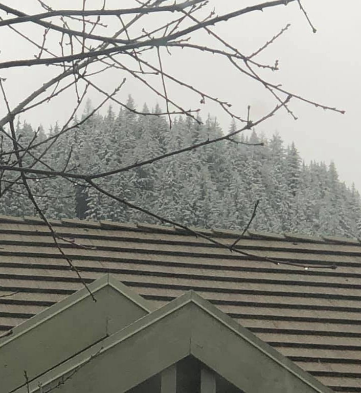
Snow is expected to be light, up to 5 cm, and only in areas of higher elevation.
Residents in higher neighbourhoods in Port Moody, Coquitlam and Port Coquitlam, including Westwood Plateau, Heritage Mountain and Burke Mountain, may wake up to a few flakes on the grass.
According to Environment Canada, a low pressure centre will move into southern B.C. tonight bringing rain to much of the Lower Mainland.
"A cool air mass in place will keep snow levels around 300 metres," the statement says.
As a result, higher elevations could see some snow through tonight and into Tuesday morning
Closer to sea level, there will be no significant accumulation but there may be snow or wet snow falling at various times.


.png;w=120;h=80;mode=crop)
