Another powerful Pacific storm is set to slam into the West Coast of British Columbia today, bringing bands of moisture over the Lower Mainland and triggering a special weather statement for the Tri-Cities.
The storm is expected to dump heavy rain on Metro Vancouver, parts of Vancouver Island and the central and inner south coasts, while bringing snow, wind or freezing rain to other regions, according to Environment Canada.
The system is forecast to hit Metro Vancouver by Thursday afternoon, bringing up to 90 millimetres of rain, strong southeasterly winds and initial temperatures cold enough to trigger snow at higher elevations.
By the evening, warm air is expected to turn snow to rain in many communities, save the Sea-to-Sky corridor where snow could last longer.
Environment Canada warns of a chance of localized flooding where snow persists.
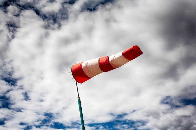
BC Hydro says it is bracing for electrical outages caused by high winds. A statement from the utility says it is now preparing for possible damage from high winds linked to the latest storm set to hammer the south coast and Vancouver Island. Customers in those areas are encouraged to prepare for potential outages, the statement says.
Residents of the Tri-Cities will see rain continue into Friday night, turning to light rain or showers by Saturday as the storm’s intensity tapers off.
—With files from The Canadian Press


