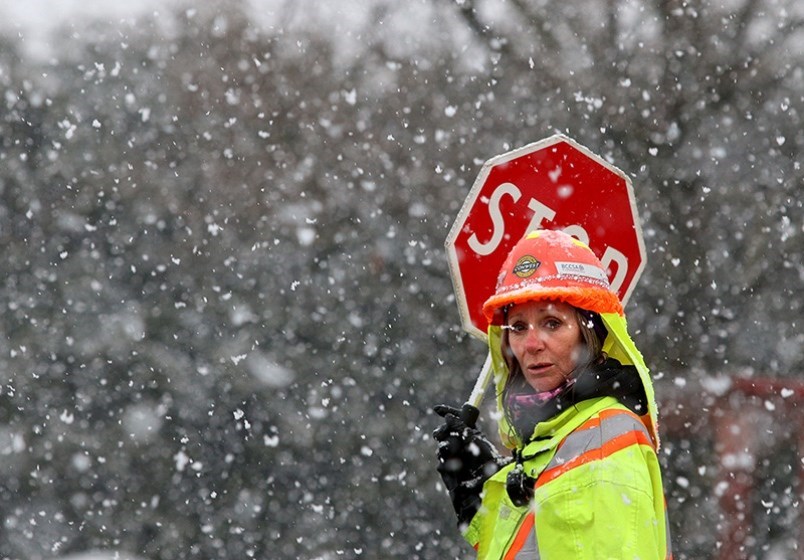
Environment Canada has issued a special weather statement for Coquitlam, Port Coquitlam and Port Moody as a ridge of low pressure approaches the Lower Mainland bringing up to five centimetres of snow.
In what the Meteorological Service of Canada describes as a “grand transition,” a dominant surface ridge of high pressure will give way to “wet and wintry conditions.”
“With arctic air present, almost all the way out to the water, we could expect snow from sea level all the way up to mountain top,” writes the service.
Environment Canada forecasts the snow to begin Saturday night and continue into Sunday morning for the entire Metro Vancouver area.
By Sunday afternoon, snow is expected to transition into rain in many areas.

