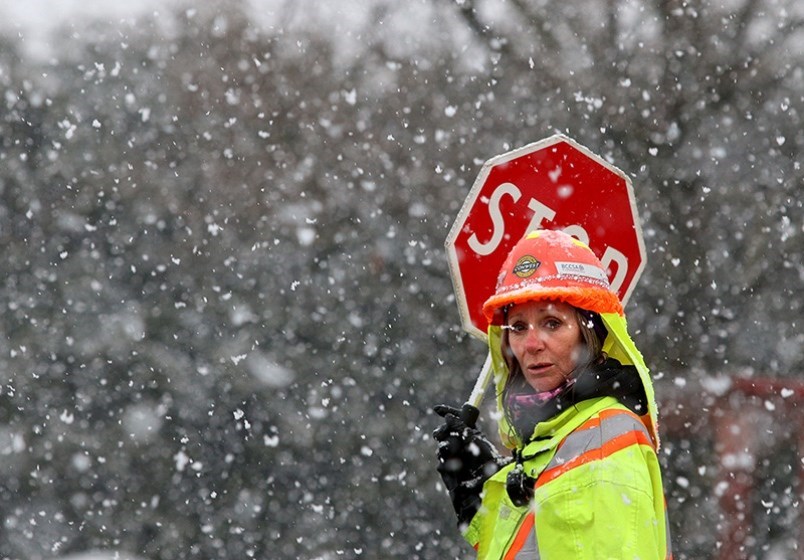
Temperatures will dip across Metro Vancouver over by the weekend, leading to a chance of snow Sunday, according to The Weather Network.
An arctic air mass currently in northern British Columbia is expected to move south over the coming days, bringing nighttime temperatures down to as low as minus three degrees Celsius Sunday evening in Coquitlam.
"We should expect temperatures from about 2-5 C below normal," said Environment Canada meteorologist Lisa Erven. "Normal for this time of the year is highs around 8 C."
With that cool air comes a chance of snow and rain showers Sunday.
Meanwhile, in the mountains, Avalanche Canada has extended its warning to recreational backcountry users across B.C.’s South Coast and Vancouver Island.
Recent snowfall has put a greater load on a buried weak layer not usually found in the current warm climate.
“When this weak layer is triggered, the resulting avalanche could be deadly,” warns the organization in its Special Public Avalanche Warning.
Avalanche Canada forecaster Kate Devine added, “In the rugged terrain of the North Shore Mountains and the popular backcountry areas of Vancouver Island, there are lots of places where this layer is a really big problem.”
“We urge all recreational backcountry users to be extra diligent in their route finding and give yourselves a large margin for error when travelling in any type of avalanche terrain.”
— With files from Brendan Kergin


