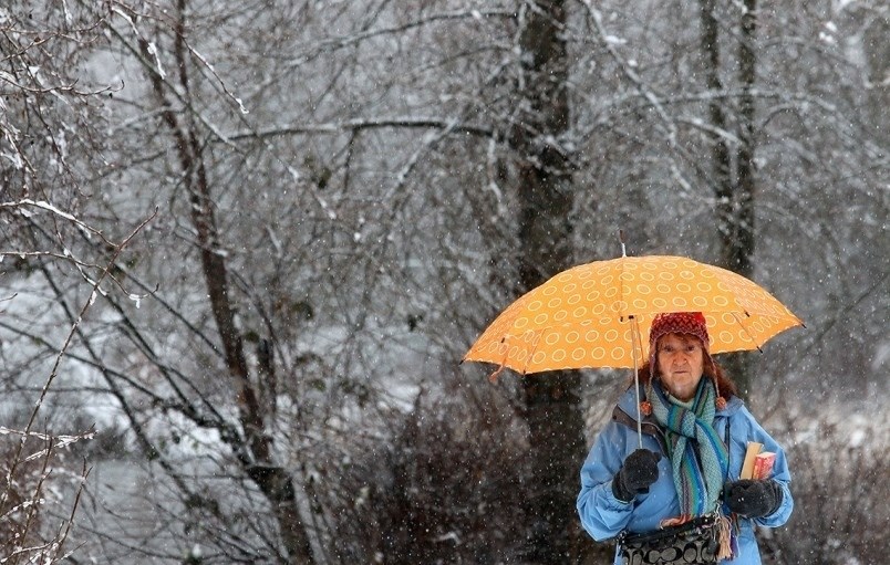
Monday afternoon could bring some sloppy conditions with wet snow predicted in the higher elevations of Coquitlam and Port Moody, according to Environment Canada.
A Pacific frontal system approaching from the northwest will arrive on the south coast later today bringing wet snow or rain to Metro Vancouver this afternoon. The precipitation will last through this evening and then end overnight as the system moves to the south.
Snowfall amounts will vary considerably depending on elevation. Accumulations will range from a trace to 2 cm at sea level, near 5 cm at 150 metres above sea level and up to 10 cm for the highest neighbourhoods, according to the Canadian weather agency.
Pedestrians and drivers are encouraged to prepare for quickly changing and deteriorating travel conditions, with surfaces such as highways, roads, walkways and parking lots becoming slippery and difficult to navigate.
The special weather alert was issued Monday morning at 4:35 a.m. and follows a weekend of sunny but cool temperatures.


