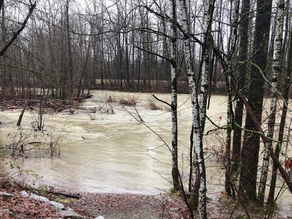
The BC River Forecast Centre has put out a high streamflow advisory for the southwest coast, including the Tri-Cities, following a significant rainfall over the last 24 hours.
River levels are expected to rise rapidly, provoking a risk of minor flooding in low-lying areas, according to the forecast centre
The city of Port Coquitlam has released a public advisory warning residents that larger rivers are predicted to reach their peak levels late Thursday or Friday.
“Please use caution and stay clear of fast-flowing watercourses and potentially unstable riverbanks during the high-stream flow period,” advised the city in a notice posted to its social media channels.
Winds are also expected to pick up in the afternoon and peak overnight and into Friday morning across the Lower Mainland, with gusts of 50 to 70 kilometres per hour, according to the Weather Network.
An Environment Canada rainfall warning for the Tri-Cities in place Wednesday has since expired, though moisture-laden systems are expected to bring another 30 to 40 millimetres of rain Friday.
The wet weather is forecast to taper off by Sunday, with skies clearing to a mix of sun and cloud by Monday, Sept. 28.
Port Coquitlam said it’s monitoring both the weather forecasts and river levels and is “proactively taking steps to prepare for the safety of residents and businesses.”
More information on flood preparedness is available portcoquitlam.ca/flood.


