Mother Nature is set to follow up her strong wind storm with potentially the Tri-Cities' first flakes of the season.
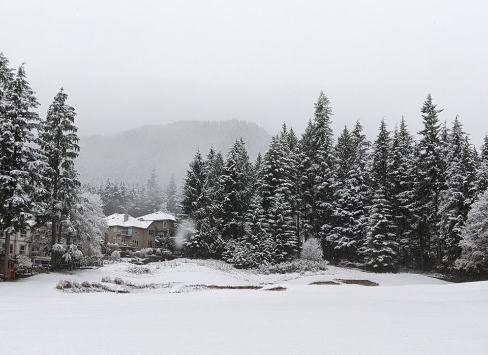
Environment Canada has issued a snowfall warning for Metro Vancouver as a total of up to 15 cm could fall at higher elevations.
And the national agency is predicting the white stuff to be more on the damper side of the spectrum.
The warning's low forecast includes Coquitlam, Port Coquitlam, Port Moody, Anmore and Belcarra, and snow is expected to begin as early as tonight (Nov. 5).
"Snow levels will initially be about 300 metres such that some precipitation could fall as wet snow over the higher terrain," reads Environment Canada's alert, which was issued just before 11:30 a.m. this morning.
"Locations near sea level may start to see wet snow, but any accumulation will likely be at locations above 100 metres in elevation. Near 5 cm of accumulation is possible in those locations with up to 10 cm over the highest locations."
Meteorologists add snow levels are likely to drop to five centimetres by Sunday morning (Nov. 6) as cooler temperatures may switch the forecast to periods of rainfall.
As well, winds could gust between 20 and 50 km/h through the Tri-Cities, dropping temperatures to between 2 and 5 C throughout the day.
Local residents are being reminded to slow down and drive to the conditions as visibility may be reduced during the possible snow fall.


